

Siamo spiacenti, questo articolo non è disponibile nella lingua scelta. EN abort
To the Sources of the Vltava River
The Vltava, the Czech national river, originates on the slopes of Černá hora at an altitude of 1,190 m. At first, it is called Černý potok (Black Stream), then from Borová Lada it becomes Teplá Vltava (Warm Vltava), and from the confluence with Studená Vltava (Cold Vltava) all the way to Mělník, it is simply called Vltava.
Lunghezza totale
16 km
Requisiti di tempo
4.5 hours
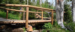
Terreno
paved
Periodo di visita consigliato
Summer
Esigenza fisica
Moderate difficulty
Marcatura
Yes
Come arrivare in cima
By car to Kvilda
Come tornare indietro
Return to Kvilda via an asphalt road – 7 km. During the summer months, the Green Buses operate on the return route.
Punti di interesse sul percorso
The path to the Vltava source is mostly flat, but then the trail ascends to Bučina, from where you can see as far as the Alps.
Nothing remains of the original village, but here you will find a restored chapel, an authentic replica of the Iron Curtain near the Alpská vyhlídka hotel, and a comprehensive exhibition on the region in the Šumava and Bavarian Forest National Park information pavilion.
Return to Kvilda again via asphalt – 7 km.
(During the summer months, the Green Buses run on the return route.)