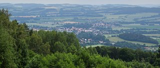
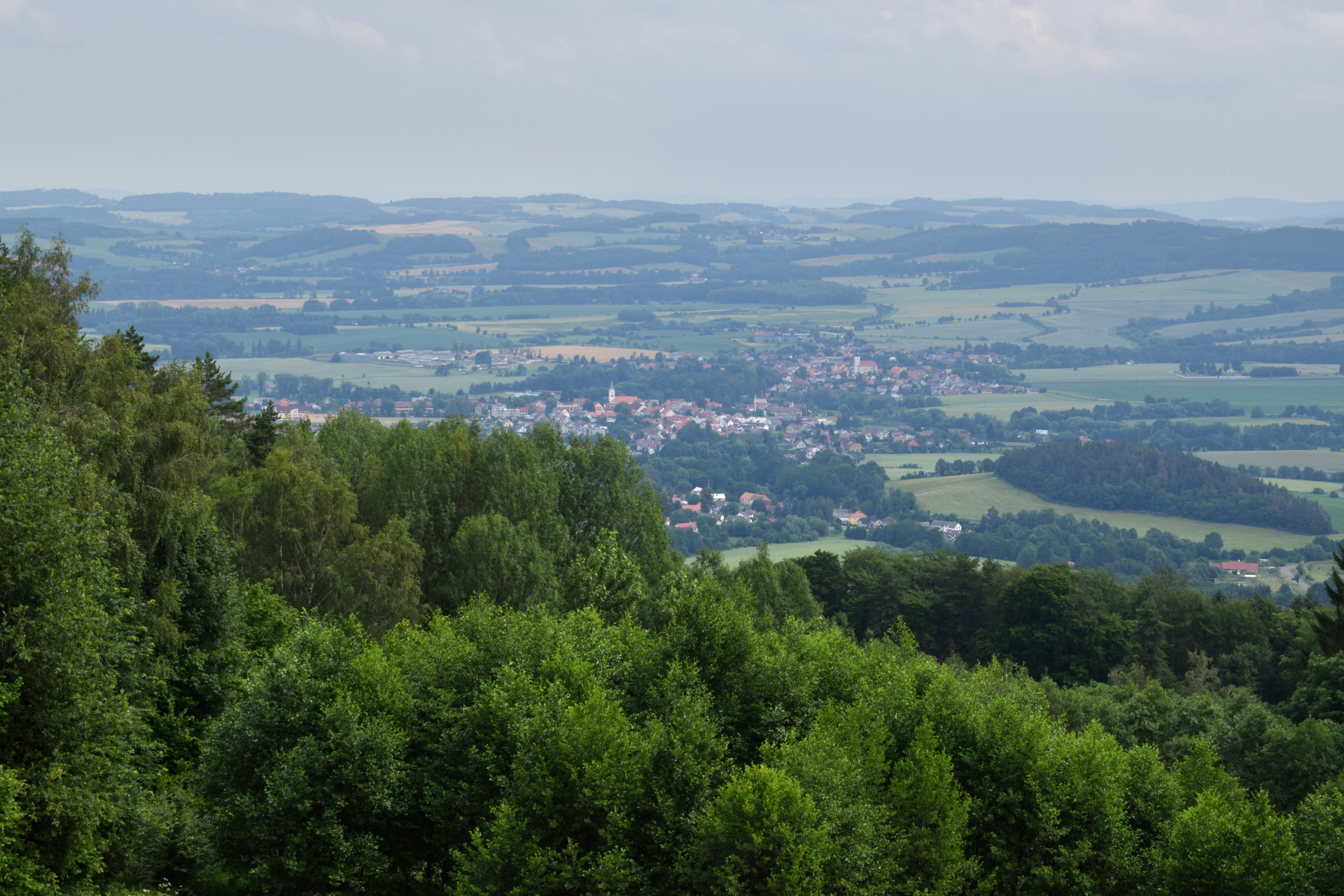


Javorová skála Viewpoint
Javorová skála is located 6.5 km north of Jistebnice and 4 km southwest of Prčice. The border between the South Bohemian and Central Bohemian Regions runs along the northern slope of Javorová skála. It is the highest peak of the Jistebnice Uplands.
How to get there
Access to the summit is provided by the green trail from Jistebnice or from the hamlet of Cunkov, or via the yellow trail from Nadějkov (about 5 km) connecting to the green trail at the foot of the hill. There is also a road from Cunkov leading to the top.
Do you know that...
…is Javorová skála also known as the Devil’s Hump?